
Green Belt
The proposed site lies within the South Bedfordshire Green Belt. National policy gives Green Belt a specific role in keeping land open and resisting urban sprawl and countryside encroachment.
Understanding how the landscape is used, valued and connected helps create better evidence and better decisions.
Local photograph of the landscape west of Linslade.
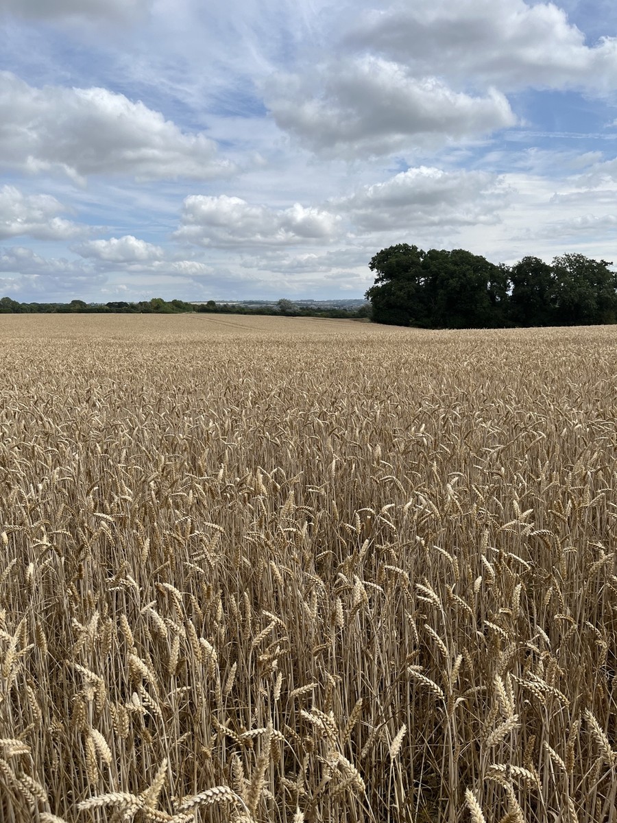
These fields remain actively farmed and form part of the open countryside surrounding Linslade. Agricultural use, soil quality and the role of the land in the wider rural setting are important matters to document accurately.
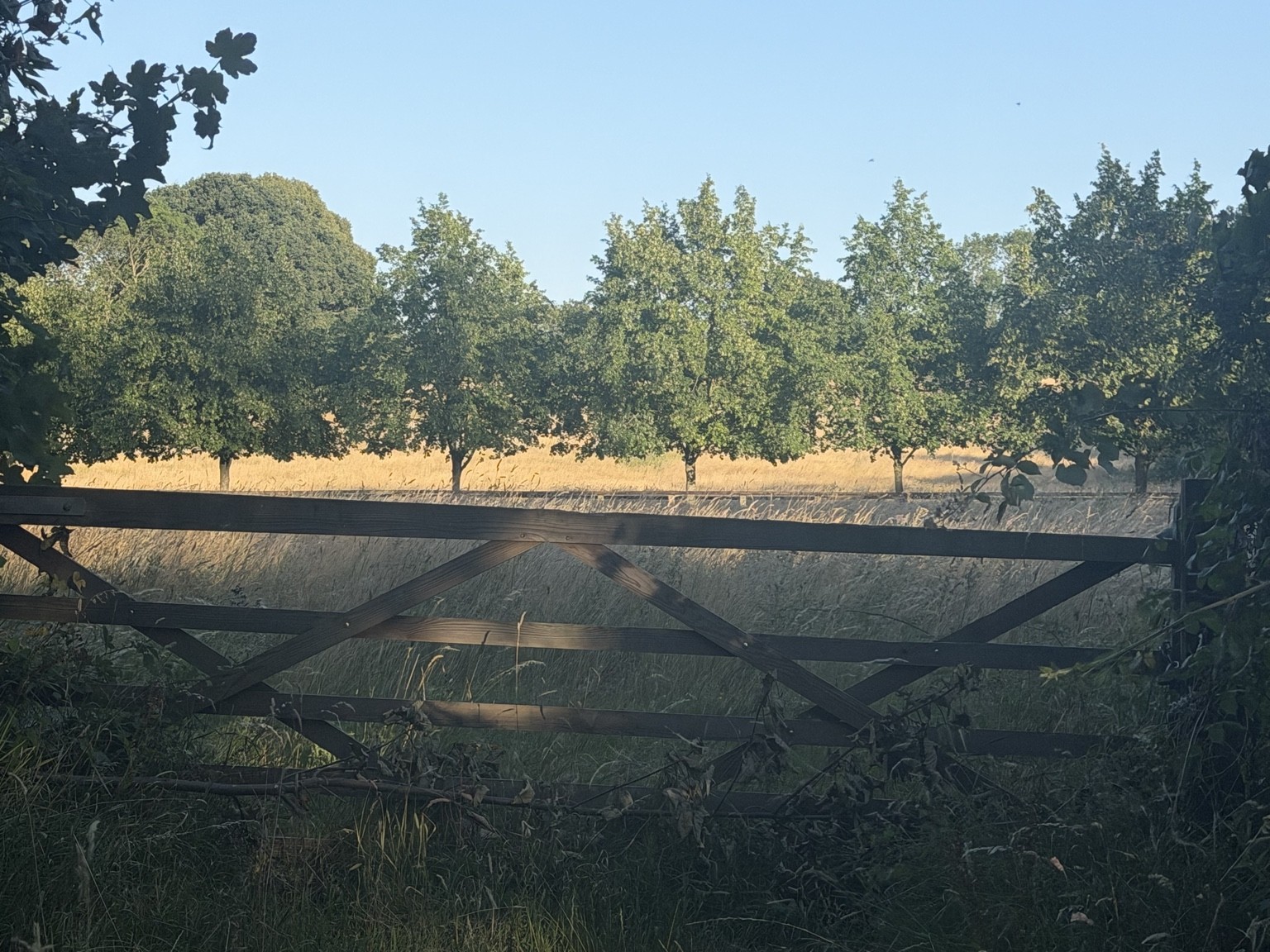
The paths and field edges are used by walkers, dog walkers, runners, cyclists and families. Resident observations can help show the frequency, variety and importance of that everyday use.
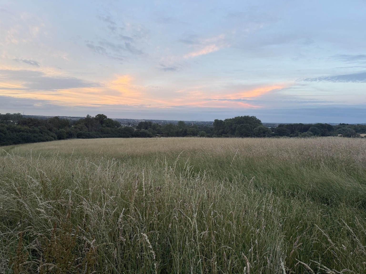
Accessible countryside close to home supports exercise, relaxation and connection with nature. Personal experiences can help explain how people use the landscape for both physical and mental wellbeing.
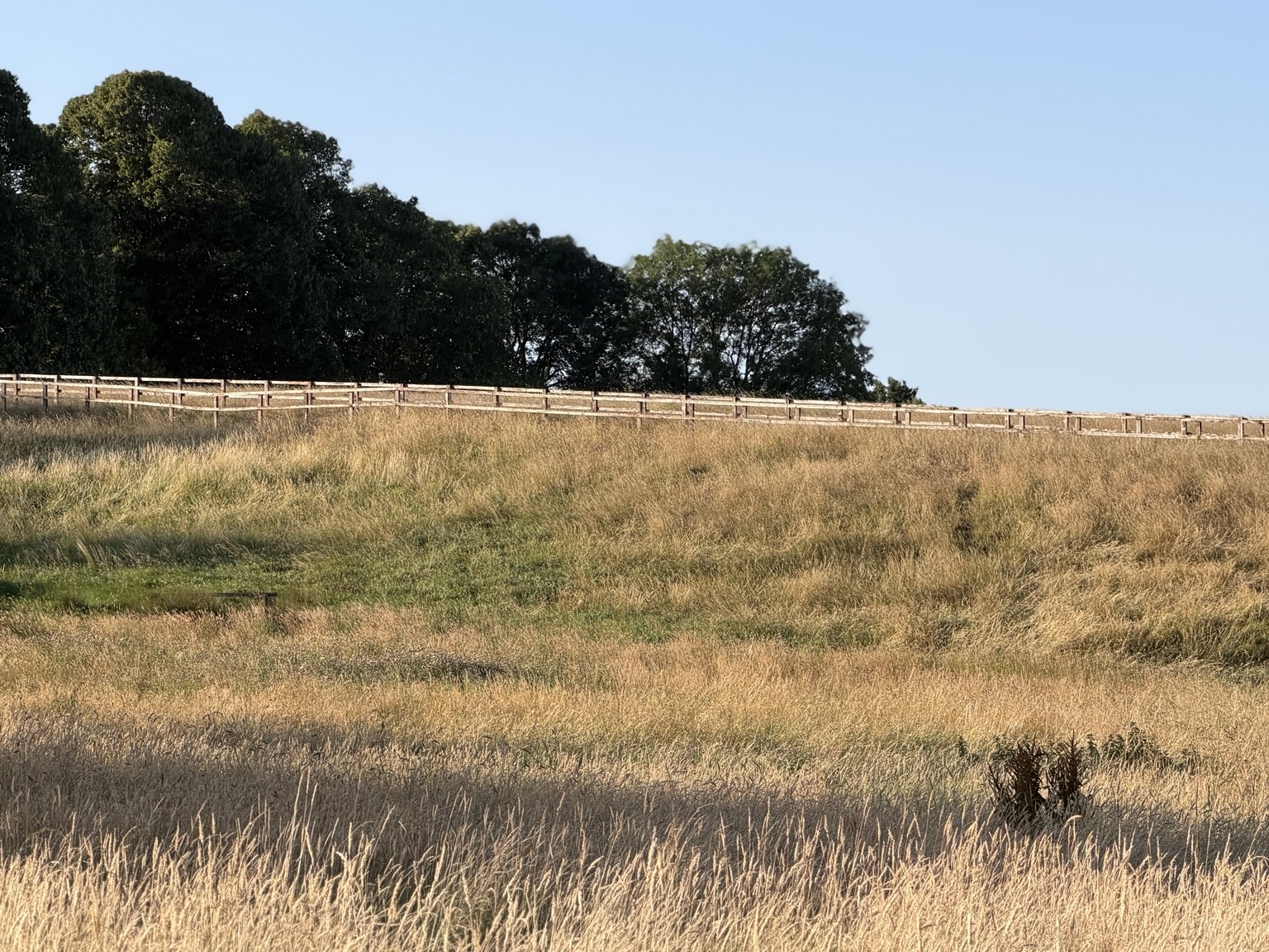
Field margins, mature trees, hedgerows and buildings may support wildlife and movement through the landscape. Resident observations are valuable, while formal ecological conclusions require qualified surveys.
The qualities of the landscape and its formal planning designation are related, but they are not the same thing. Each should be assessed on its own evidence.
The proposed site lies within the South Bedfordshire Green Belt. National policy gives Green Belt a specific role in keeping land open and resisting urban sprawl and countryside encroachment.
How the countryside contributes to the setting, identity and visual edge of Linslade.
How hedgerows, trees, grassland and field margins connect habitats and allow wildlife to move through the area.
The relationship between Linslade, the open countryside, the A4146 and the boundary with Buckinghamshire.
How development could affect the open character and permanence that are central to Green Belt policy.
Photographs, dated wildlife observations, walking routes, congestion records and flooding evidence can all contribute to a stronger local record.
Receive occasional consultation reminders, campaign updates, requests for local evidence and opportunities to help.
Scan the QR code with your phone camera or WhatsApp to join.
Announcements only. You can leave at any time.
