Who uses Leighton-Linslade?
Recognise the town’s wider service catchment and consider the capacity of schools, healthcare, transport and other services used by everyone who relies on the town.

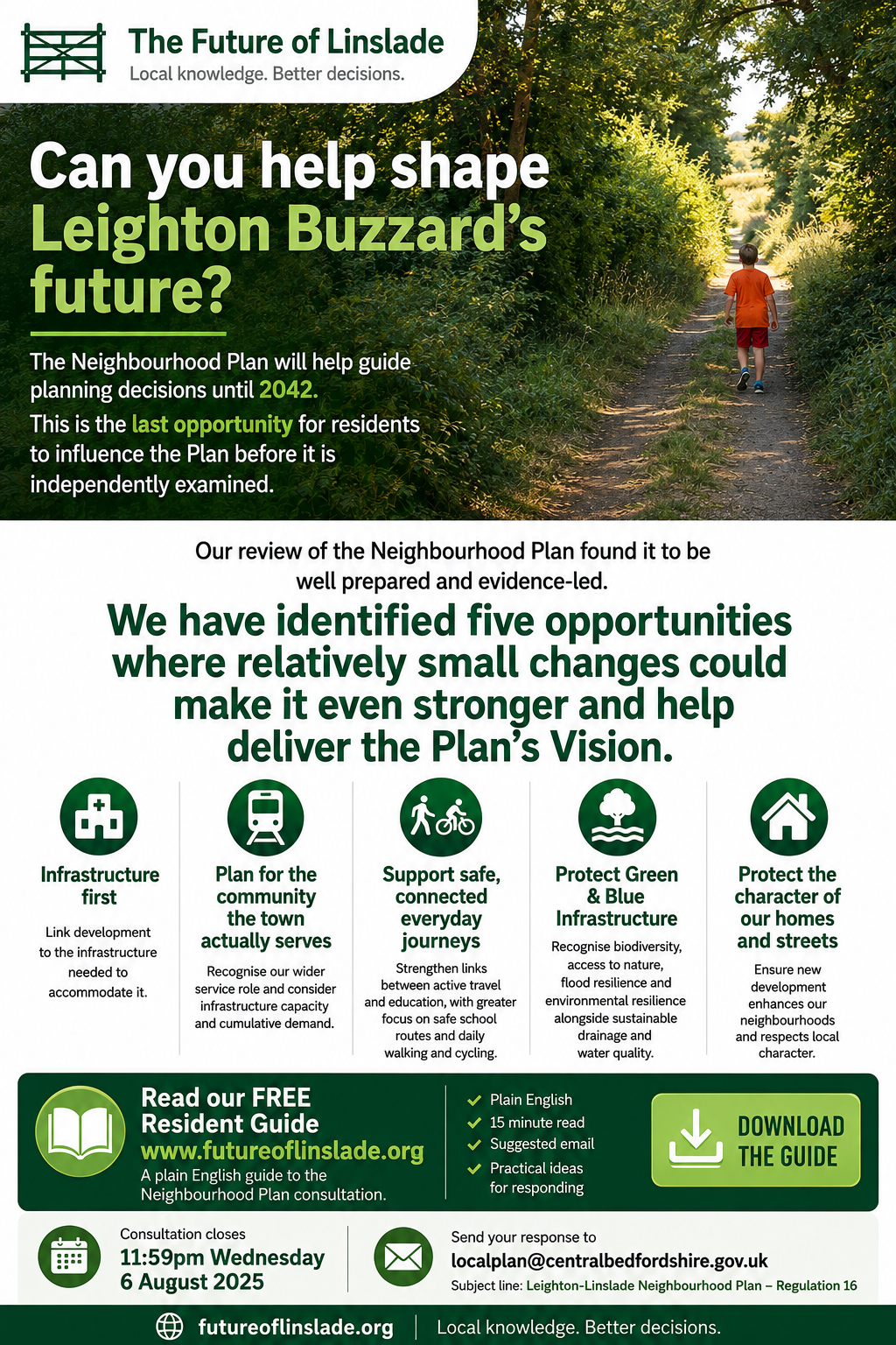
The Neighbourhood Plan will help guide planning decisions until 2042.
This is the last opportunity for residents to influence the Plan before it is independently examined.
Our review of the Neighbourhood Plan found it to be
well prepared and evidence-led.
Recognise the town’s wider service catchment and consider the capacity of schools, healthcare, transport and other services used by everyone who relies on the town.
Identify where evidence, maps, supporting text and policy are not fully aligned, and make targeted corrections.
Strengthen links between active travel and education, with greater focus on safe school routes and daily walking and cycling.
Recognise biodiversity, access to nature, flood resilience and environmental resilience alongside sustainable drainage and water quality.
Improve wording and cross-references so future planning decisions are clearer and more consistent.
www.futureoflinslade.org
A plain English guide to the Neighbourhood Plan consultation.
For residents who want a straightforward explanation of the consultation, the main opportunities we identified and practical guidance on responding.
For residents who know the Southcott landscape or regularly use Public Right of Way 60 or Bridleway 52. It reviews landscape, biodiversity, recreation, groundwater, surface-water flooding, Blue Infrastructure and the Green Wheel.
A permanent project collecting photographs and observations from public rights of way and other publicly accessible places to support future planning work.
Download the flyer for Facebook or community groups.
Download the flyer